It will have been obvious from my last column that I was truly expecting breakup to have occurred before I got around to writing the next one. It’s April 30 this afternoon, and while there has been a lot of movement on the Yukon River over the last few days, the tripod is still standing and we’re waiting for the fire siren to sound.
All of which leaves a fair number of people walking the dike and glancing at the times on their ice pool tickets hopefully. The water’s so low on this particular day that there hardly seems to be any need to worry about a flood, but you never know.
Five major floods (not to mention the 17 lesser events) during the twentieth century are why we have the dyke.
(Whoops—all the original documents and studies refer to this as a “dyke” and it’s only recently that the Canadian Press Stylebook preferred spelling “dike” has come into official use.)
There was a meter deep flood in 1925, and a knee-deep flood in 1944. For that one a B-25 was called in from Whitehorse to drop bombs on the ice jam. This accomplished nothing.
The BIG one came in 1979. Most of the floods are caused by ice jams rather than just high water. In ’79 three rivers jammed all at once. The river backed up and water rushed back to the town all the way up to Sixth Avenue, which is why we bought a house on Seventh.
Buildings flooded. Buildings floated. There are pictures of people canoeing on the major downtown streets. In some parts of town the flood was two metres in depth. It took six million dollars (rated in 2009 values) to set things right.
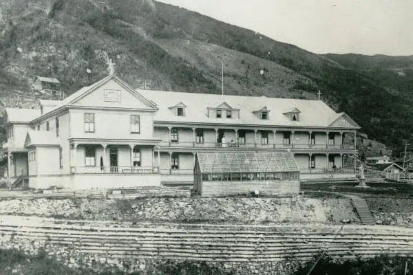
The top of the dike has become a popular walking trail for visitors and locals alike PHOTO: Dan Davidson
Within weeks there were calls from hydrologists and many others to build a higher dike.
One would think that there would have been a serious dike by then, but there really wasn’t. Up until that time all that had been done was to tinker with the level of Front Street, raising it in both 1959 and 1969.This was quite ineffective.
Why it took another seven years for the powers that be to decide to fund this necessary bit of infrastructure has always been a mystery to me, but I’m told it took a threat from Parks Canada to prime the money pump.
The dike that was finished in 1987 was designed to withstand a major once-in-200-year flood, and so far it has not been seriously tested, though I did see water lapping about a metre and a half from the top a few years after it was completed.
It wasn’t popular to begin with. The loudest complaints came from our seasonal residents, who said it ruined the view.
Well, it did, at first. It separated the town from its waterfront history, although it’s been decades since the wharfs and warehouses disappeared. It took a few years for the grass to grow, and the greensward between it and Front Street to become really useful recreational space.
Willows sprouted along the lower dike path, while the upper path became a popular walking/biking/snowmobiling trail.
In recent years viewing stations at the Keno and the Dänojà Zho Cultural Centre provide good views of the river, and last summer’s addition of several viewing platforms means we now have lots of good places from which to watch the ice slide downstream when break-up finally comes.
Author’s note: By the way, the ice actually did break up and the tripod move at 9:42 a.m. on May 1.